Crime Mapping

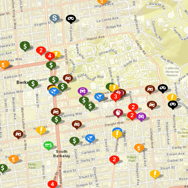
About Incidents Shown

This website allows the public to query a map of selected reported call types. CrimeMapping also offers some useful graphs of the data. The University of California Police Department is pleased to make this resource available to the members of the UC Berkeley community. While we continue to work hard to provide accurate and up-to-date information, the data are preliminary and may change upon investigation.

All crime locations are as they appear on the map should be considered approximations and may appear according to the nearest intersection, block number, building, or landmark.

When a crime is reported to have occurred at an unknown location on University property, it will be marked on the map at an arbitrary central point on campus. This is not intended to represent the actual location of the incident, but is included in the interest of providing the public with as much information as possible.

The call types available for display are:

  • Homicide
  • Manslaughter
  • Robbery
  • Aggravated Assault
  • Sex Offenses
    • Forcible
    • Non-Forcible
  • Burglary
  • Motor Vehicle Theft
  • Arson 

NOTE: Hate Crimes do not have a distinct offense code and therefore, cannot be specifically displayed. 

Police records disclaimer and restriction of use

The University of California Police Department, Berkeley cannot give any guarantees as to the accuracy, completeness, or timeliness of the information. Moreover, because the information is evolving, it cannot be used for comparisons over time. The University of California Police Department is not responsible for any error or omission, or for the use of, or the results obtained from the use of this information. All data visualizations on maps are approximate and attempts to derive specific addresses are strictly prohibited. Any use of the information for commercial purposes is strictly prohibited.

Reported Area Crimes Interactive Map